Medicine Bow National Forest
Where to now?
With Memorial Day over and the commitment to be back at the office in one week, we faced a point of decision. Steve felt that we had missed the chance to go deeply into a single Place and was willing to drive straight home to Wisconsin. I wanted to see some sights along the way and avoid spending a night napping in the passenger seat or in a truck stop. We reached a compromise and decided to head toward the Black Hills for a few more days of exploring.
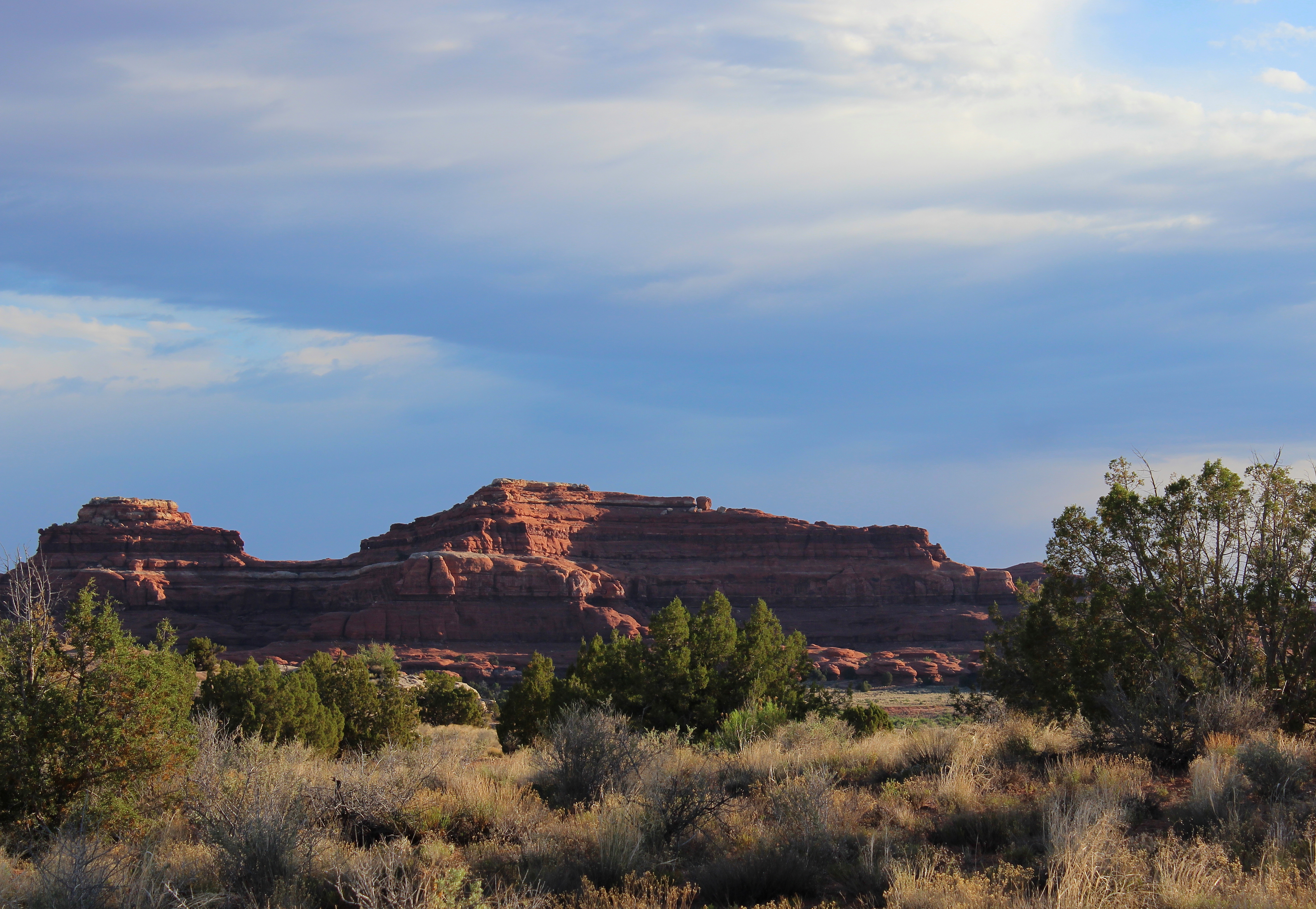
Heading northeast from Vernal, Utah on Highway 191, we found ourselves traveling the Flaming Gorge Scenic Byway. Two state parks are along this road, and then the Ashley National Forest and Flaming Gorge National Recreation Area. Where the land isn’t protected, mining operations have stripped off the top of the mountains. The sight of those huge scars made me shake. Along the way, we realized we were on the “Drive Through the Ages Geological Tour”. This section of road traverses the Morrison Formation. Roadside signs name the various geological features and approximate their age. It was like having a review of the Geology 101 talk we heard at Dinosaur National Monument by going down the symmetrically opposite side of that bell curve.
The Flaming Gorge Recreational Area was created by damming up the Green River that flowed by our campsite the previous night. I have so many questions about how this man-made alteration affects the land, why it was proposed and built, who benefits and who loses. I have questions about others in the west as well: Glen Canyon dam, Hoover dam, and the rest along the Colorado River. Coming over the top of the Uinta Mountains, all I could say when I saw these structures through my cracked windshield was, “Dam!” 

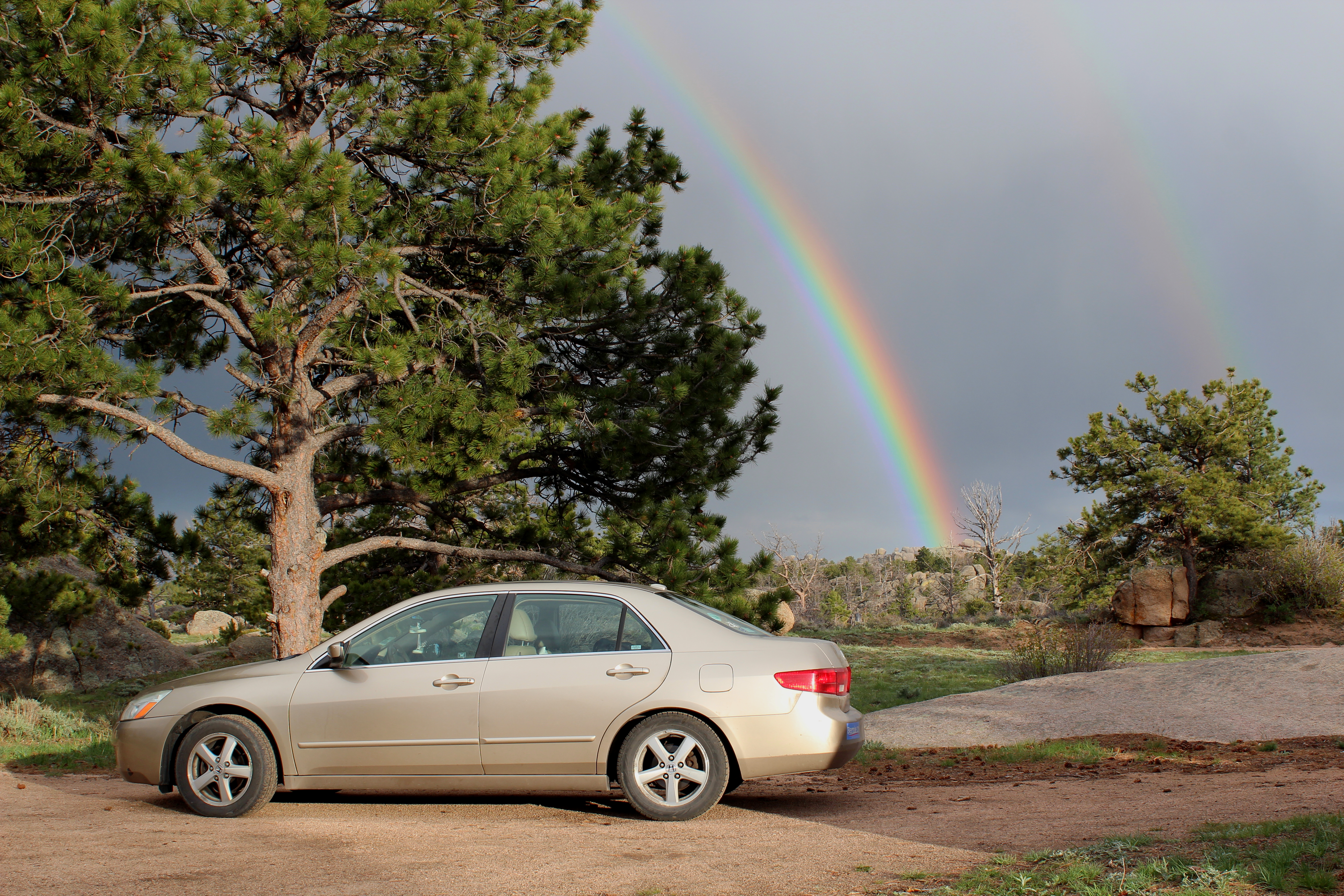
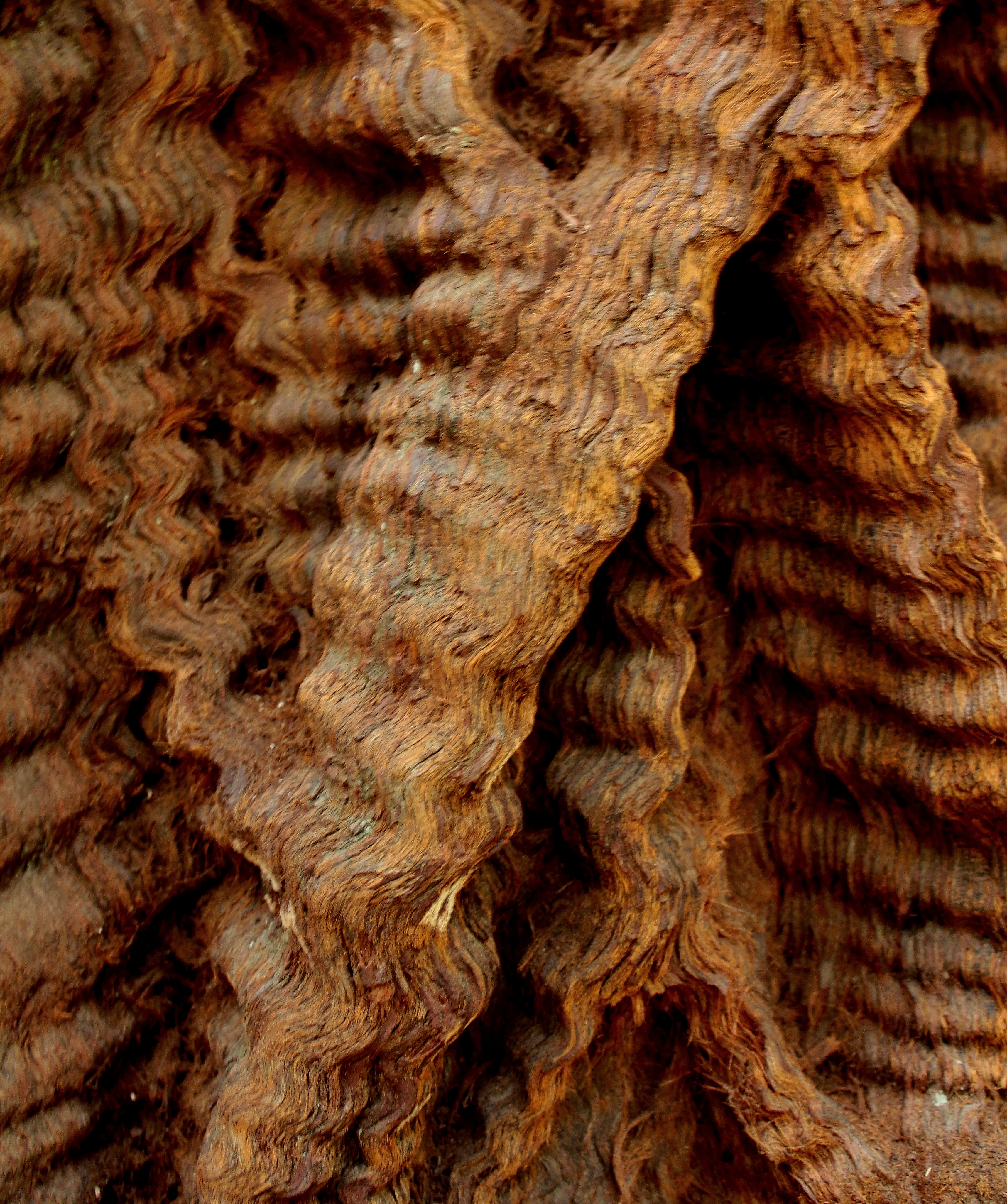
We headed on to Interstate 80 going east through Wyoming and crossed the Continental Divide again…twice. At this lower elevation, it splits into two lines on the road map, and it seems there is a dry basin area in the middle. In eastern Wyoming, we camped in Medicine Bow National Forest for the night. It was quite close to the Interstate, convenient but noisy. Rain was falling as we pitched the tent. I scrambled inside, but emerged shortly because I had forgotten something in the car. I’m so glad I did not miss this sight! At the end of the day, no matter what humans have done, built or destroyed, there is still Air, Water, Sun and Earth. I am glad. And I am humbled.
  This is the Medicine Bow.

 So, this is the Millennial generation of our family.


 Boys in shorts, green grass and blooming flowers, and…snow on the ground?


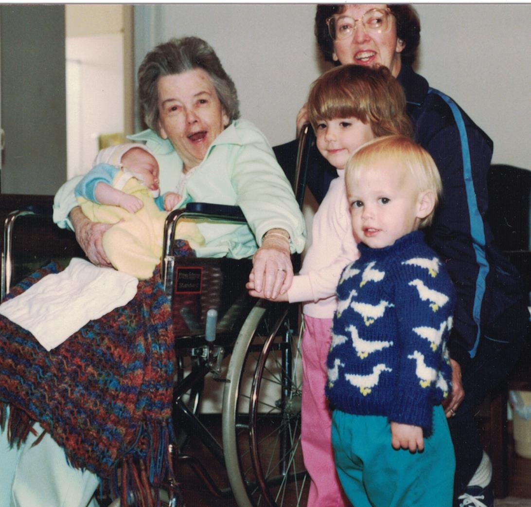


 These photos were taken by Aunt Maggie. My camera is in one of the pictures, but I don’t seem to have any pictures of the whole company. (* help?)